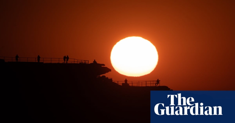
Hot, dry and windy weather for Australia’s south-east prompts bushfire and heatwave warnings
Multiple heatwave and bushfire warnings are in place for the Australia Day public holiday, with every Australian capital city expecting maximum temperatures above 30C and Melbourne forecast for a scorcher.
On Monday Melbourne was forecast to hit 41C before a late cool change. Sydney was due for 31C, Brisbane 30C, Adelaide 35C, Perth 32C and Hobart 32C.
If Melbourne temperatures climbed above 40C, it would be the city’s hottest January day in five years, according to Bureau of Meteorology senior meteorologist Miriam Bradbury.
“The last time we had a 40 degree plus day in Melbourne was back in February 2023. And the last time we had a 40C day in January, we have to go all the way back to 2020.”
The city was 39.8C at 3.55pm.
Intensely hot, dry and windy weather had combined to cause extreme fire dangers for western and central Victoria and much of eastern South Australia.
The Bureau of Meteorology has warned of low to severe heatwave conditions for much of the country including Western Australia, the Northern Territory, western Queensland and New South Wales.
“We’re going to see temperatures for many of our inland areas get in the high 30s to low 40s, and that heat will get down to the Sydney area on Tuesday with temperatures in the mid-30s,” senior meterorologist Dean Narramore said.
“We could see temperatures get into the high 30s for Adelaide before a cool change, but much of Victoria is likely to see low 40s … and could even see mid-40s along the Murray.”
Birdsville, in western Queensland and Moomba in north-east South Australia were expected to see some of the highest temperatures in the country on Monday, with both expected to reach the mid 40s. Birdsville had already recorded 45.2C at 1.27pm.
A gusty cool change had reached the Adelaide metropolitan area around late morning and was expected to hit Victoria on Monday afternoon, with thunderstorms forecast for NSW on Tuesday. In Victoria, thunderstorms and dry lightning were a risk, as the change moved through.
A total fire ban has been declared on Monday for the Wimmera, Mallee, south-west, central and north central regions of Victoria as temperatures are forecast to reach the high 30s to mid-40s, with gusty winds of 70km/h to 80km/h.
The Country Fire Authority chief officer, Jason Heffernan, said the conditions would make it difficult for firefighters to suppress any blazes that started.
“We’re asking people to follow the strict conditions associated with the total fire ban declaration,” he said.
Emergency warning service VicEmergency issued a Watch and Act-Leave Now alert for the entire Little Desert national park in the state’s Wimmera Mallee region, asking visitors and campers to leave the park immediately. Communities in nearby Minimay and Peronne were also advised to leave now.
A Watch and Act-Leave Now warning was also in place for areas including Barunah Park, Corindhap, Rokewood, Shelford, Warrambine, located approximately 40km south of Ballarat.
A total fire ban was also in place for several fire districts in South Australia, including lower and upper south-east, Murraylands, Riverland, mid north and Mount Lofty Ranges.
Dean Narramore, senior meteorologist for the Bureau of Meteorology, said any fires that started in those areas were likely to be “uncontrollable and uncontainable”. He urged people in eastern South Australia and western and central Victoria to stay up to date with the latest forecasts and warnings.
Meanwhile, authorities have also issued a total fire ban for southern Tasmania, amid hot, dry and windy conditions.
Bradbury said milder conditions were expected for the south-east on Tuesday, apart from a hot day forecast for New South Wales and the potential for heavy rainfall in Queensland.
Queensland could also see its first tropical cyclone this summer, Bradbury said. Later in the week and into the weekend, low pressure systems forming over the Coral Sea and Gulf of Carpentaria posed a low to moderate chance of becoming a tropical cyclone.
“We’ve only seen two cyclones in the Australian region so far, or that have originated in the Australian region so far this season, and they’ve both been in Western Australia.”
Australia’s land surface has warmed by 1.5C since 1910, according to the Bureau of Meteorology, with the climate crisis making heatwaves longer and more intense and increasing the number of extremely hot days.


